In ZoneVu, the Geomodel is the place where you load all of your Grid Data (Structure, Isopach, and Data Grids), create Structural Surfaces out of the Grid Data or Seismic Horizon Data, and create Zones (Geobodies) where you assign thickness to a Structural Surface. Those Surfaces and Zones are correlated to Geologic Formations that are part of the Stratigraphic Column for the Geomodel.
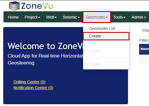
To create a Geomodel, select “Create” under the “Geomodel” dropdown. This will open the “Create Geomodel” pop-up.
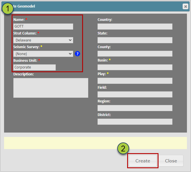
Fill out the required inputs: Name, Strat Column, Seismic Survey (Optional), and Business Unit
Click the “Create” button to create your Geomodel