

ZoneVu can have two different Top Sets and a 'Geosteering Horizon Set' displayed in the Vertical Track of the 2D Viewer. This article lists what these different Top and Horizon Sets are and how they differ.
Active Well Tops: Formation Tops that are picked along Active Well's wellbore
Active Well Tops are displayed in the Cross-Section, Horizontal Track, & Vertical Track
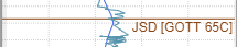
In the Vertical Track & Horizontal Track, Active Well Top labels will list the "Formation Symbol [Well Name & Number]" and will be on the righthand side of the track and Under the Top Pick Line
Type Well Tops: Formation Tops that are picked on the Type Well and are not related to any Geosteering Interpretation
Type Well Tops are only displayed in the Vertical Track
In the Vertical Track, Type Well labels will list the "Formation Symbol [Well Name & Number]" and will be on the righthand side of the track and Over the Top Pick Line
Geosteering Interpretation Horizons : Interpretation Horizons are a unique copy of the assigned Type Well's Top Set that is owned by the Geosteering Interpretation and are created when the Geosteering Interpretation is created. Interpretation Horizons can be edited to have depths that differs from Top Depths of the original Type Well Top Set.
Interpretation Horizons are only displayed in the Vertical Track
In the Vertical Track, by default, Interpretation Horizons labels will list the "Formation Name" and will be on the lefthand side of the track and Over the Top Pick Line


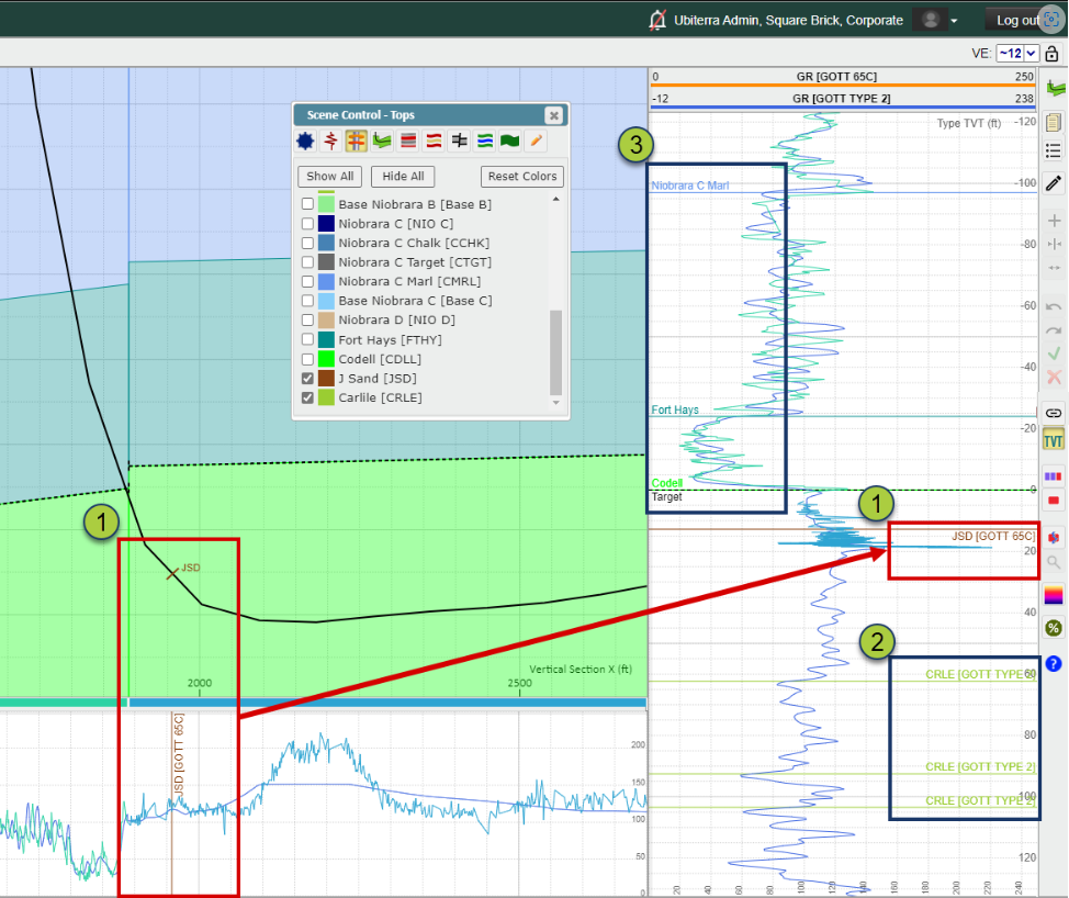
Note: When a log is checked on in the "Tops" tab of the Scene Control, every Top Pick, whether it is an Active Well Top or a Type Well Top, will be displayed along every wellbore in the Cross-Section that has these Tops, as a color tick mark with the Top's Symbol labeled next to it (See JSD Top displayed on the Active Well above).